Geographic Information System
Large amounts of spatial data can become overwhelming, and this can make completing any task from simple mapping to complex analysis more difficult. Timely and accurate representation of spatial information and analysis results is what sets the successful companies apart from the rest and helps with the planning and decision-making process for each project.
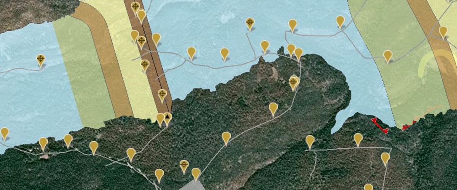
Knight Piésold offers spatial data collection through field visits and drone surveys, as well as data management solutions, including storage, archiving, and various ways of sharing results. Our team performs complex spatial analysis. This is done through our expertise in the analysis and modeling of vector and raster data and with the use of industry-leading software, including ArcGIS Pro, ArcGIS Server, Global Mapper, Pix4D and SQL Server Database. We provide a number of data sharing techniques to clients from simple packaged databases to more complex replication processes, as well as presenting information over a web mapping interface or a standalone web service.
We provide high quality, efficient, and customized geographic information system (GIS) services to meet the needs of our clients. Our GIS professionals can help you assess your GIS needs, acquire data, manage and analyze information, create deliverables or provide training to GIS users, and follow up with technical support.